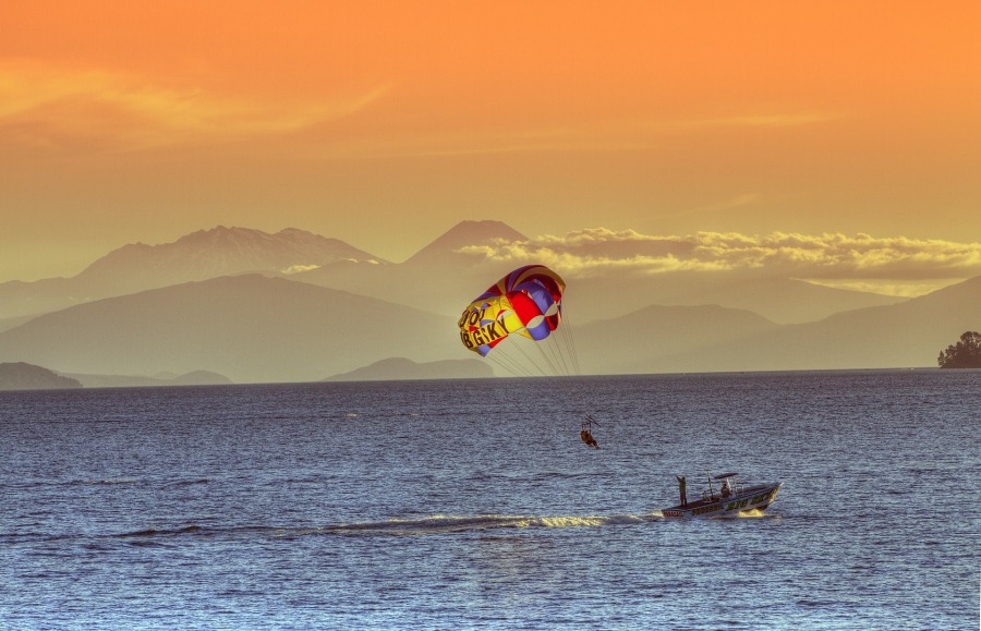
Taupo and Lake Taupo
Taupō is a town on the shore of Lake Taupo in the central North Island of New Zealand. The town is the
largest urban area and seat of the Taupo District, and the second-largest urban area in the Waikato
region behind Hamiltion.
Taupō has a population of 25,400 (June 2020). In 1953, Taupō was officially constituted as a borough but
from 1989 it has been administered by the Taupo District Council, the district including both Taupō
itself and the surrounding hinterland. Despite this, it is occasionally referred to as a city.
The name Taupō, by which the town is commonly known, is the shortened version of its Māori name,
Taupō-nui-a-Tia. Literally translated, Taupō-nui-a-Tia means "The great cloak of Tia"; the explorer Tia
discovered the lake. New Zealand Gazetteer records in 2019 the change of the official name to add the
macron over the last vowel. In 2021 the name of the lake remains Lake Taupo officially (without the
macron) although Lake Taupō is increasingly introduced into common use.
(Quelle:Wikipedia)
Lake Taupo

Lake Taupo is a lake in the North Island of New Zealand. It is in the caldera of the Taupo Volcano. With
a surface area of 616 square kilometres (238 sq mi), it is the largest lake by surface area in New
Zealand, and the second largest freshwater lake by surface area in geopolitical Oceania after Lake
Murray in Papua New Guinea. Motutaiko Island lies in the south east area of the lake.
Lake Taupo has a perimeter of approximately 193 kilometres and a maximum depth of 186 metres. It is
drained by the Waikato River (New Zealand's longest river), and its main tributaries are the Waitahanui
River, the Tongariro River, and the Tauranga Taupo River. It is a noted trout fishery with stocks of
introduced brown and rainbow trout.
The level of the lake is controlled by Mercury Energy, the owner of the eight hydroelectric dams on the
Waikato River downstream of Lake Taupo, using gates built in 1940–41. The gates are used to reduce
flooding, conserve water and ensure a minimum flow of 50 m3/s (1,800 cu ft/s) in the Waikato River. The
resource consent allows the level of the lake to be varied between 355.85 and 357.25 metres (1,167.5 and
1,172.1 ft) above sea level.
(Quelle: Wikipedia)
Overview map
Links
- Taupo - 100% Pure New Zealand
- Taupo - Lonely Planet
- Love Taupo: Taupo Tourism Official Page
- Huka Falls, Neuseeland
